UAV/Drone Survey
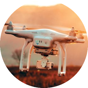
UAV’s / Drones have become increasingly popular for surveying applications in various fields such as
agriculture, construction, environmental monitoring, and land surveying.
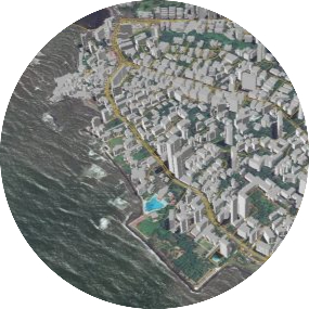
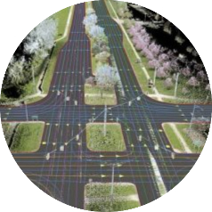
UAVs are equipped with sensors such as cameras, LiDAR, and GPS, which can capture high-resolution images, 3D models, and precise location data. This allows for efficient and accurate mapping of areas that may be difficult or dangerous to access by traditional methods.
Read More


