

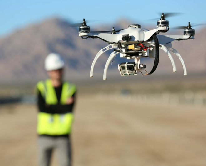
Drone survey helps to make the surveying easier and safer in the site surveying. The data collected is accurate and ardent. Surveying with a drone offers enormous potential to GIS professionals. With a drone, it is possible to carry out topographic surveys of the same quality as the highly accurate measurements collected by traditional methods, but in a fraction of the time. This substantially reduces the cost of a site survey and the workload of specialists in the field.
We believe that learning about drone technology is an essential investment for the future. Our courses are designed to impart the necessary knowledge and skills for individuals who wish to enter the exciting world of drones. As part of the national mission to increase young employment in India and the employability of technology graduates, we offer drone technology courses that prepare our students to become professional drone pilots.

Around the world, drone technology is a rapidly evolving field that offers a wealth of opportunities in various industries, including infrastructure development, Film Industry, surveying, and agriculture and more. By learning about drone technology, our students can develop a unique skill set that will set them apart in the job market. Moreover, they will be well-equipped to navigate the evolving policy guidelines for drone usage in the civilian sector in India, as released by the Directorate General of Civil Aviation (DGCA) of the Government of India.