

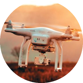
UAV/Drone Survey
UAV’s / Drones have become increasingly popular for surveying applications in various fields such as agriculture, construction, environmental monitoring,...
Read More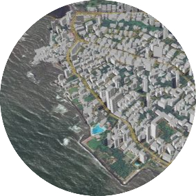
Photogrammetry
Photogrammetry deals with acquiring imageries of the Earth’s surface and carrying out analysis with the data. Our team expertise...
Read More
LiDAR Scanning
LiDAR is an advanced survey technology which scans the features in the area of interest with the highest accuracy...
Read More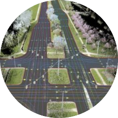
LiDAR Data Production
LiDAR survey is a technology that uses laser pulse to hit the target and estimates the distance by the...
Read More
Land Surveying
Land surveying is the process of determining the precise location and measurement of land, including its boundaries, contours, other...
Read More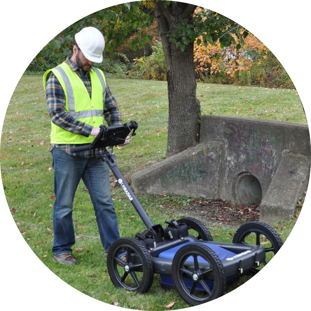
GPR Survey
GPR survey involves, focusing electromagnetic pulses (radar signals) of short duration into the ground using a specialized antenna. GPR...
Read More
Civil Engineering Surveying
Civil engineering surveying is a branch of civil engineering that deals with the measurement and mapping of land and...
Read More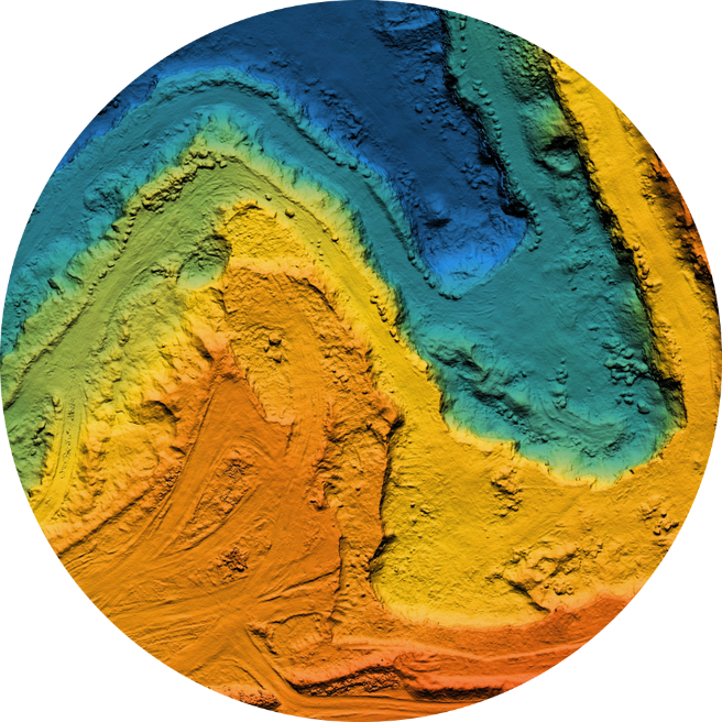
GIS Mapping
GIS deals with the information about the earth and its features. GIS mapping services refer to the use of...
Read More
Civil Based Traffic Services
Civil engineering surveying is a branch of civil engineering that deals with the measurement and mapping of land and...
Read More